Hadrian's Wall
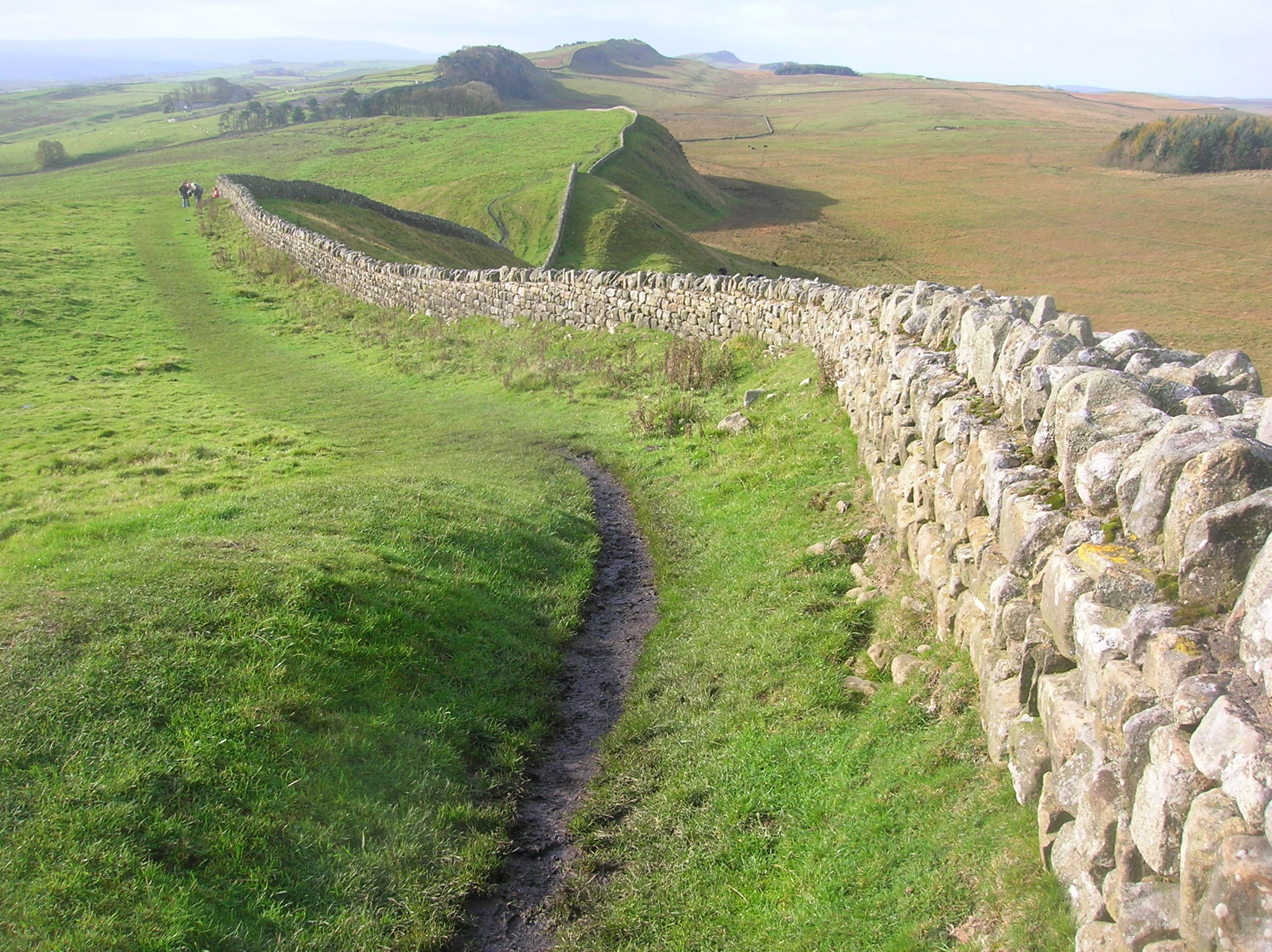
Hadrian's Wall, constructed between CE 122 and 128 during the reign of the Roman Emperor Hadrian, was a defensive fortification marking the northern boundary of the Roman province of Britannia. Stretching approximately 73 miles (118 km) from the Solway Firth in the west to the River Tyne in the east, the wall was built to control movement, demonstrate Roman power, and protect the province from potential incursions by the northern tribes. Interspersed with milecastles approximately every Roman mile, and further strengthened by 16 larger fortresses and smaller turrets between milecastles, it became a heavily fortified line of defense. The wall was manned by Roman auxiliary soldiers who patrolled its length, monitored border crossings, and responded to threats, ensuring a significant military presence in the region and showcasing the reach and might of the Roman Empire.
By the early 5th century, with the decline of Roman power in Britain, the Wall ceased to function as an active military line of defense.
This event is also available in the following timelines: